|
|
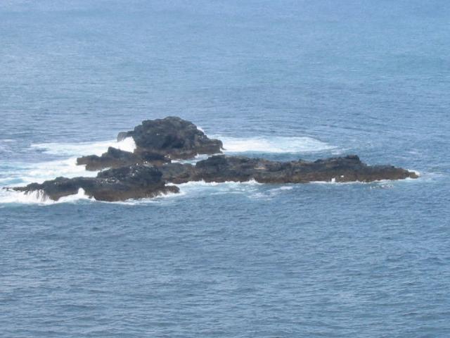
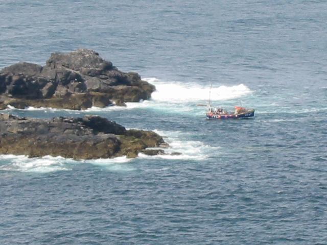
Just past half way on the path to Zennor walkers, who haven't yet gone blind from anoxia, will notice the legendary Seal Island. However, a swift glance at the Ordnance Survey map will reveal ..... no Seal Island? Are your eyes deceiving you? Are the Ordnance Survey deceiving you? No and No. Seal Island is the name given to the rocks by the locals, mainly because you find loads of seals there. Obviously the Ordnance Survey thought such a title far too prosaic and wanted to go for something with a bit more mystery and romance. So, on the map, Seal Island is actually called 'The Carracks'. Now, isn't that far better than the dull and literally-minded 'Seal Island'? Except that the name 'The Carracks' is derived from the Cornish language and means ..... 'The Rocks'. It must have taken an act of genius to think that one up! Anyone who has been to St. Ives (or has been paying attention to other parts of this website) will know that there are regular boat trips out to Seal Island from St. Ives Harbour. The opinion has now been voiced in some quarters that this regular contact with human beings (and tourists) is starting to affect the seals. In deed, some believe that this may explain the behaviour of Alfie The Seal. However, those who earn their living from this trade claim that the seals do quite well out of the arrangement and that there is no direct evidence that their natural behaviour is being affected by it. Certainly, the seals don't seem all that bothered. They just get their 25% cut of the day's takings, then slip on their human suits (imagine the process of a human getting into a wetsuit but in reverse) and head off down to the Tinners for a few pints of Sharp's Special and a game of euchre.
|
| I (that’s me) own the copyright in all the content of this site (except where otherwise acknowledged). You can read it, download it, transmit it and reproduce it only for your own personal use. You are not allowed to bugger about with it. If your computer explodes as a result of accessing this site and its contents, it’s nothing to do with me, mate! Copyright Vile Jelly Publications 2001-2009. All rights (and some wrongs) reserved. |